
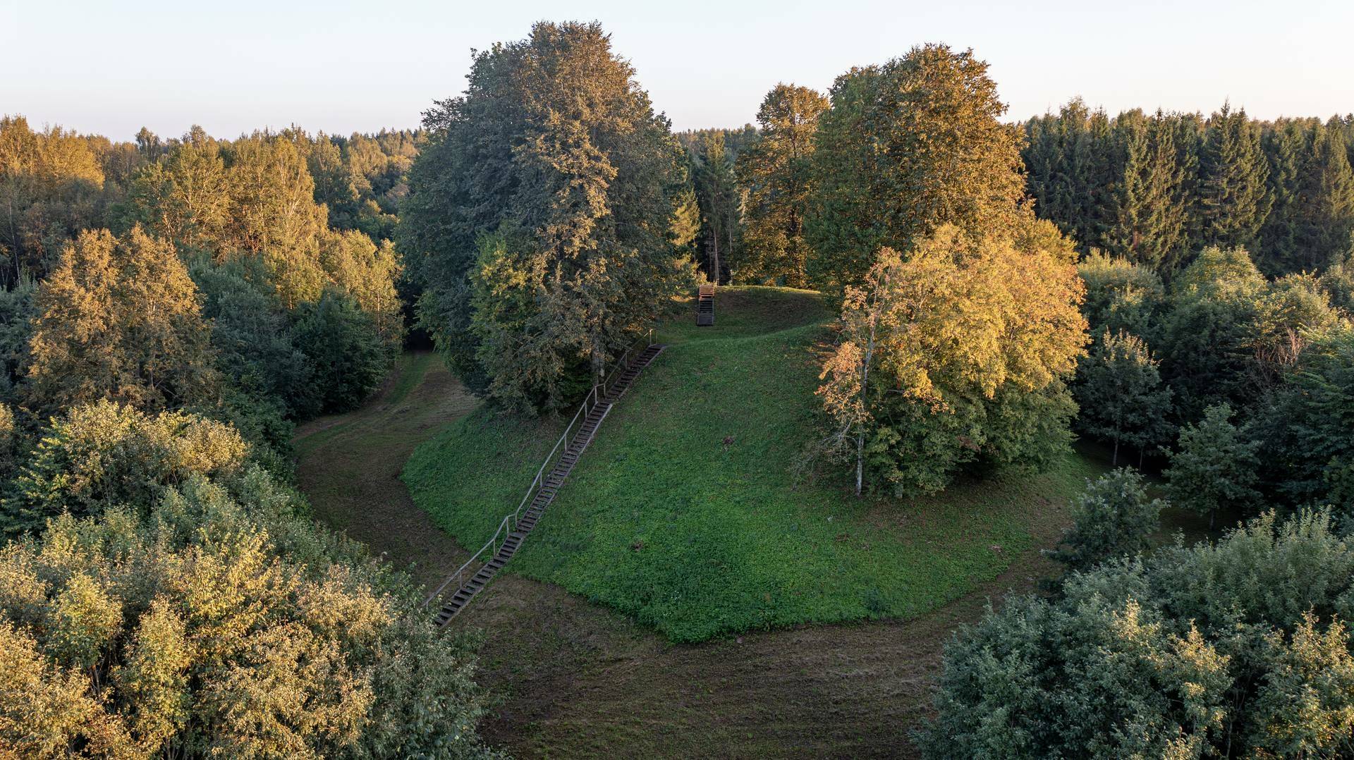
The mound is located on a promontory. R it reaches a height from which a slope of 2 to 2.5 m is separated. The site is triangular, oriented in the PV – NE direction, 40 m long, 50 width NE, with a cultural layer. Shards of molded pottery were found in it. At the NE edge of the site is a 1 m high, 24 m wide embankment where coal has been found. Its 2 m high outer slope descends into a 9 m wide, 0.5 m deep ditch. Slopes of medium steepness, up to 10-11 m high. The mound is heavily plowed with plows, now it is soiled, and single trees grow on the slopes. To the north of the mound is a settlement at the foot of an area of 0.3 ha. There is a burial mound 700 m northeast of the mound. The mound dates back to the 1st thousand. - II thousand. the beginning.
Reviews